The Wartime Orkney Trail leaflets project
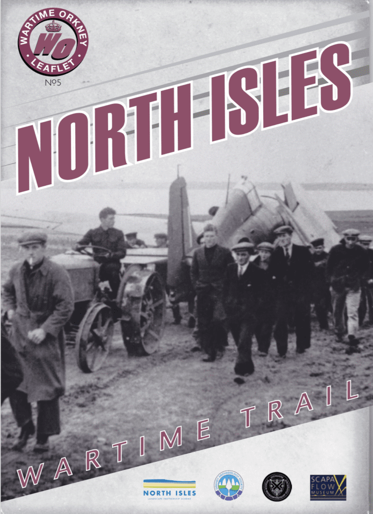
Brand new self-guided leaflets for the Wartime Orkney Trail
A grant from the Society, along with support from the Orkney Archaeology Society, the North Isles Landscape Partnership Scheme and the Scapa Flow Museum has enabled research and the production of two leaflets covering the North Isles and West Mainland & Graemsay. These complete the series of five trail leaflets that now cover all the Orkney Islands.

One of the pair of adjacent air-raid shelters on Glimps Holm dating from WW2. NGR: ND 471 993. Photo: Ian Collins FSAScot March 2022.
Since 2021, Dr Gavin Lindsay and Ian Collins FSAScot have been developing self-guided wartime trail leaflets to introduce the non-specialist to representative examples of the rich archaeological record left by 19th and 20th century military activity in Orkney. The original inspiration for this project was the Lyness Wartime Trail, produced by the Scapa Flow Landscape Partnership Scheme in 2012. The leaflets are available free of charge at museum sites in Orkney and can also be downloaded in a ‘device-friendly’ format.
The impact of war in Orkney
War, and the threat of war, has profoundly affected the physical and social landscape of the Orkney Islands. The vast, sheltered natural harbour of Scapa Flow was the Royal Navy’s main Fleet base during both World Wars, its strategic importance being largely due the proximity of the North Sea and Atlantic Ocean. The inadequacy of the existing defences at Scapa Flow was shown in October 1939, shortly after the outbreak of WW2, when HMS Royal Oak was sunk at anchor by the German submarine U47 with the loss of 835 lives. A series of air raids followed, including one that almost sank the flagship, HMS Iron Duke. Consequently, the islands rapidly became one of the most heavily defended and militarised parts of the UK. Homes and farmland were requisitioned, curfews and travel restrictions were imposed; the resident population of 22,000 islanders was outnumbered by the presence of up to 40,000 military personnel. The landscape was transformed by thousands of structures including roadblocks, command centres, fuel stores, power stations, railways, accommodation huts, gun emplacements, airfields, piers, barrage balloon sites, radio stations and, most dramatically, by the construction of the four Churchill Barriers.

The radar ramp at Smoogro HAA Battery dating from WW2. NGR: HY 373 061, the view from the west. Photo: Neil Thain/Aerial Vision Orkney, August 2024.
A lasting legacy
The islands are remarkable both for the sheer number of sites that were not cleared or re-developed when the military departed. Many of these sites are unique (eg. the Italian Chapel on Lamb Holm, the Central Communications Building above Lyness and the Churchill Barriers), others are more ephemeral (eg. bomb-craters left by the Luftwaffe at Roan Head on Flotta or the anti-invasion defences of the Inganess-Scapa stop line south of Kirkwall). Some are perhaps the last remaining examples of their type anywhere in the UK (eg the ‘Z’ rocket battery on the Golta peninsula of Flotta). Substantial installations such as barrage balloon mooring sites are obscured by vegetation.
There are also the profound effects of the Churchill Barriers on the local geography and ecology, most notably at barrier No.4 where the open stretch of Water Sound has been replaced by a vast accumulation of sand which has slowly buried the hulks of several blockships. Less obvious perhaps are the shell craters at North Hill on Papa Westray, the result of the Navy using the area for bombardment practice as part of the preparations for the Normandy landings of June 1944; the many hundreds of shells that landed here have left a landscape peppered with craters that are now home for a wide variety of plants, birds and insects.
Methodology
The key objective was to enable a non-specialist to locate as wide a range of sites as possible and to gain a basic understanding of the purpose or significance of the original structure or installation and perhaps of its impact on the landscape.

The WW2 barrage-balloon mooring site on the Golta peninsula of Flotta. There are four concentric circles of concrete blocks and a central anchor point at NGR: ND 378 958 The outer ring is about 55 metres across (arrowed). Aerial image courtesy of HES.
Candidate sites were initially identified using the following criteria:
- Desk-based assessment (existing publications, large scale maps, primary documents held in The National Archives, Kew and the on-line Canmore database held by Historic Environment Scotland).
- Walk-over (and drive-by) surveys looking for remains or signs of military activity.
- Conversation with local residents, many of whom also had interesting photographs which they kindly made available for inclusion in the leaflet.
- Discussion with Geoffrey Stell and Andrew Hollinrake who are specialists in the military archaeology of Orkney.
This process identified a large number of objects or sites that could have been included in the leaflets; these ranged in scale from the Churchill Barriers down to an inconspicuous inscription on a stone pier on Flotta’s Golta peninsula. An important principle in selecting sites from the many available was that they should fulfil the following:
- There should be either some visible remains and/or an interesting archive photograph of the site.
- The site should be visible from a public path, road or from a ferry. Alternatively, the site should be one that has established access.
- The inclusion of a site should not encourage intrusion onto active farmland or protected land.
Summary
The remaining earthworks and concrete structures have become enduring, if accidental, monuments to the military occupation and the cataclysmic events of both World Wars; it is quite possible that traces of these will persist for at least as long as the Neolithic sites for which Orkney is better known. It is interesting to speculate about how the remains of structures such as the isolated pair of air-raid shelters on the north-west headland of Glimps Holm or the radar ramp at the Smoogro heavy anti-aircraft battery might be interpreted by archaeologists in the distant future.
In the meantime, it is hoped that this project will generate interest and stimulate research into these important sites, many of which are at risk of being lost and forgotten.
The Wartime Orkney leaflets for Hoy, Scapa Flow and Lyness are now available as PDFs. The latest leaflets, produced with support from the Society of Antiquaries of Scotland, can be downloaded from the links below.